


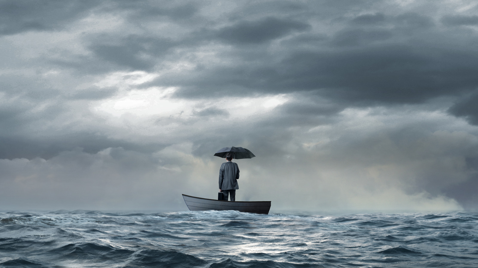
Can You Use GPS While Stranded in the Ocean? Yes, GPS can be a vital tool for survival when you’re lost at sea, but its effectiveness depends on several important factors.
GPS, or Global Positioning System, works by connecting to satellites orbiting the Earth to pinpoint your exact location. As long as your device has a clear view of the sky and sufficient power, it can provide accurate coordinates even in the middle of the ocean.
However, being stranded in the ocean presents unique challenges. Your GPS device must be waterproof, durable, and fully charged to work properly.
Without power, the device is useless, and harsh weather or physical damage can interfere with satellite signals. Additionally, knowing how to read and use GPS coordinates is essential to help rescuers find you quickly.
Besides GPS, other navigational tools and safety equipment should be considered in emergency situations.
While GPS technology is incredibly helpful, it should never be your sole reliance. Preparing in advance and understanding how to use these tools can dramatically improve your chances of survival.
What Is GPS and How Does It Work?
GPS, or Global Positioning System, is a satellite-based navigation technology that provides location and time information anywhere on Earth.
It was originally developed by the U.S. Department of Defense but is now widely used for civilian purposes, including navigation, mapping, and emergency response.
The system consists of a network of at least 24 satellites orbiting the Earth. These satellites continuously transmit signals containing their location and the precise time.
A GPS receiver, like the one in your phone or a dedicated device, picks up signals from multiple satellites and uses a process called trilateration to calculate your exact position—latitude, longitude, and sometimes altitude.
To work effectively, a GPS receiver needs signals from at least four satellites. The more satellites it connects to, the more accurate the positioning.
GPS does not rely on internet or cellular signals, which makes it especially useful in remote areas like the open ocean.
While GPS can tell you where you are, it doesn’t provide directions or context on its own; it needs to be paired with maps or navigational knowledge.
Understanding how GPS functions can help you make the most of this technology, especially in critical situations like being stranded at sea.
The Importance of GPS in Maritime Emergencies


In maritime emergencies, knowing your precise location can be the difference between life and death. GPS plays a critical role in helping stranded individuals and rescue teams communicate exact positions quickly and accurately.
When a boat or vessel is lost at sea, traditional navigation methods like compass bearings or dead reckoning can be unreliable, especially in poor weather or low visibility.
GPS technology allows stranded sailors or passengers to provide rescuers with precise coordinates, significantly speeding up search and rescue operations.
This accuracy reduces the time spent searching vast ocean areas, increasing the chances of a timely rescue. Many modern emergency beacons, such as EPIRBs (Emergency Position Indicating Radio Beacons) and PLBs (Personal Locator Beacons), incorporate GPS to broadcast location data directly to rescue authorities.
Moreover, GPS helps survivors navigate toward shipping lanes, nearby land, or other vessels if rescue is not immediately available. It can also assist in monitoring drifting patterns caused by ocean currents, which is crucial for planning rescue strategies.
Overall, GPS has revolutionized maritime safety by improving location accuracy and communication during emergencies, making it an indispensable tool for anyone venturing onto open waters.
Challenges of Using GPS in Open Water
While GPS is a powerful tool for navigation and emergency situations, using it in open water comes with unique challenges.
One major issue is power supply—GPS devices rely on batteries, and if these run out or the device is damaged, it becomes useless. In the ocean, where access to charging options is limited, maintaining power can be difficult.
Another challenge is signal obstruction. Although GPS signals come from satellites high above, harsh weather conditions such as heavy storms, thick cloud cover, or rough seas can weaken or temporarily block signals. Additionally, physical damage to the device caused by saltwater exposure or impacts can impair its function.
Using GPS effectively also requires technical knowledge. Not everyone knows how to read coordinates or operate a GPS device under stress. Without this know-how, the device’s benefits might be wasted.
Lastly, GPS devices don’t provide context or direction on their own. They give your exact location, but survivors still need to interpret this information or communicate it to rescuers to facilitate help.
Despite these challenges, understanding how to manage and prepare for them can improve your chances of effectively using GPS if stranded in open water.
How to Operate a GPS Device When Stranded
Using a GPS device effectively while stranded in the ocean can greatly increase your chances of rescue. First, ensure your device is powered on and has a clear view of the sky to receive satellite signals. Avoid placing it under thick covers or inside enclosed spaces that could block reception.
Next, familiarize yourself with the device’s functions before an emergency occurs. Know how to access your current coordinates—latitude and longitude—as these are the key pieces of information rescuers need. Most GPS devices display this data clearly on the screen.
If your device has a tracking or emergency mode, activate it immediately. Some GPS units can send distress signals or share your location with rescue services when connected to emergency networks.
It’s also wise to write down or memorize your coordinates in case the device shuts off unexpectedly. Communicate these coordinates via radio, phone, or signal to rescuers or nearby vessels.
Finally, conserve your device’s battery by turning off non-essential features like backlighting or extra apps. If you have access to portable solar chargers or spare batteries, use them to keep the GPS operational as long as possible.
Alternatives to GPS When Technology Fails

While GPS is an invaluable tool for navigation and emergencies, it’s important to have backup plans if technology fails, especially when stranded at sea.
Here are some alternatives to consider:
Traditional Navigation Tools: A compass and nautical charts are essential for basic navigation. They don’t rely on batteries or signals and can help you determine direction and approximate location if you know how to use them.
Celestial Navigation: Using the sun, moon, and stars to navigate has been practiced for centuries. Learning to read celestial bodies with a sextant or by observing their position in the sky can guide you toward land or shipping routes.
Signal Flares and Mirrors: Visual signaling tools like flares or signal mirrors can attract the attention of passing ships or aircraft. These tools increase your chances of being spotted even without electronic devices.
Emergency Position Indicating Radio Beacons (EPIRBs): These devices emit distress signals that include your location to rescue authorities via satellite, often working independently of GPS.
Staying Put and Conserving Energy: Sometimes, the best option is to stay with your vessel or life raft and conserve energy while waiting for rescue, using signaling methods to increase visibility.
Tips for Staying Safe While Waiting for Rescue
When stranded in the ocean, your safety depends not only on navigation tools like GPS but also on how well you manage your situation while waiting for help.
Here are some important tips to increase your chances of survival:
Stay Calm and Conserve Energy: Panic wastes valuable energy and impairs clear thinking. Take deep breaths, stay calm, and focus on staying positive.
Protect Yourself from the Elements: Use any available shelter, clothing, or equipment to shield yourself from sun exposure, wind, and cold. Hypothermia and sunburn are serious risks in open water.
Ration Food and Water: Carefully manage any supplies you have. Drink small amounts of water regularly and avoid eating if you have limited hydration, as digestion requires water.
Use Signaling Devices: Make yourself visible to rescuers by using mirrors, flares, bright clothing, or anything reflective. Stay near your life raft or vessel, which is easier for rescuers to spot.
Stay with Your Vessel: Unless you’re close to land or a known shipping route, it’s usually safer to stay with your boat or life raft. Floating objects increase your chances of being found.
Monitor Your Location: If you have a GPS or compass, keep track of your position and any drift caused by currents, which can help inform rescue teams.
Real-Life Stories
Real-life accounts of people stranded at sea highlight the vital role GPS and survival skills play during maritime emergencies. One notable story is that of José Salvador Alvarenga, a fisherman who survived 438 days adrift in the Pacific Ocean.
Although he didn’t have a GPS device, his knowledge of ocean currents and navigation helped him stay alive until rescue.
In contrast, many sailors have been saved quickly thanks to GPS technology. For example, when a yacht lost power and was stranded off the coast of Australia, the crew used their GPS to send exact coordinates to rescue teams, enabling a swift recovery.
There are also stories where GPS devices failed due to battery loss or damage, forcing survivors to rely on traditional navigation skills and signaling methods.
These experiences emphasize the importance of having multiple survival tools and knowing how to use them.
These real-life examples underscore how GPS can be a lifesaver, but also why preparation, calm thinking, and backup plans are essential when facing the open ocean.
Conclusion
Can you use GPS while stranded in the ocean? Absolutely—GPS can be a crucial lifeline, providing precise location data that speeds up rescue efforts and helps survivors navigate safely.
However, its effectiveness depends on having a working, charged device and a clear connection to satellites.
Challenges like battery life, weather conditions, and device damage can limit GPS use, so it’s essential to know how to operate your equipment and have alternative navigation methods ready.
Preparing in advance by learning traditional navigation skills, carrying emergency signaling tools, and conserving device power can significantly improve your chances of survival.
Real-life stories show that while GPS technology has saved many lives, resourcefulness and calmness are just as vital.
In any maritime emergency, understanding GPS’s role—and its limits—can help you make smarter decisions and stay safer until help arrives.


